Michigan
The Great Lakes State
Michigan became the 26th state on January 26, 1837, after giving up the Toledo Strip to Ohio in exchange for the western Upper Peninsula. It is the only state made of two separate peninsulas, joined since 1957 by the Mackinac Bridge, and it touches four of the five Great Lakes. Its capital is Lansing and its largest city Detroit.
- Capital
- LansingCapital since 1847
- Statehood
- January 26, 183726th state
- Population, 2025
- 10,127,88410th of 50
- Area
- 96,714 sq mi11th largest · 250,487 km²
- Largest city
- Detroit649,095 people
- Abbreviation
- MIUS Postal Service code
- Motto
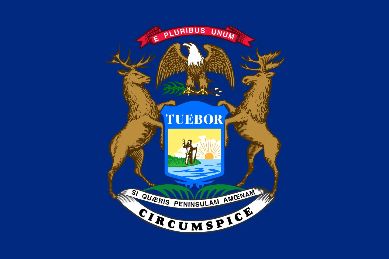
- Si quaeris peninsulam amoenam circumspice“If you seek a pleasant peninsula, look about you”
- Borders
- 3 statesCanada
A war over Toledo
Michigan’s road to statehood ran through a border dispute. In the 1830s both Michigan Territory and the state of Ohio claimed a strip of land along their border that included the port of Toledo. Militias from both sides mobilized in 1835 in what became known as the Toledo War, though little blood was shed. Congress settled it: Michigan could become a state if it gave up the Toledo Strip, and in return it received the western Upper Peninsula. Many Michiganders thought it a bad bargain, but a December 1836 convention accepted it, and on January 26, 1837, Michigan became the 26th state. The Upper Peninsula’s iron and copper turned out to be worth far more than Toledo.
Two peninsulas
Michigan is the only state made of two separate peninsulas. The mitten-shaped Lower Peninsula holds most of the people; the rugged Upper Peninsula, across the Straits of Mackinac, stretches west toward Wisconsin. Since 1957 the two have been joined by the five-mile Mackinac Bridge, and the official pledge to the state flag calls Michigan “two beautiful peninsulas united by a bridge of steel.”
The name and the motto
Michigan takes its name from an Ojibwe word, usually written michigama or mishigami, meaning “great lake,” first used for Lake Michigan. The state motto, on the coat of arms since 1835, is Latin: Si quaeris peninsulam amoenam circumspice, “If you seek a pleasant peninsula, look about you.”
The Great Lakes State
Michigan touches four of the five Great Lakes, all but Lake Ontario, and more than 40,000 square miles of its area is water, over two-fifths of the total. “The Great Lakes State” appears on its US Mint quarter. Its other nickname, “the Wolverine State,” is older and its origin disputed. Neither is official.
A capital in the woods
Detroit was the capital for Michigan’s first decade. In 1847 the legislature chose a new capital in Lansing Township, in the middle of the Lower Peninsula, even though no village stood there yet; the new settlement was first called Michigan, Michigan. Its Capitol was designed by Elijah E. Myers, who went on to design the capitols of Texas and Colorado, and dedicated in 1879. The capital page tells the story.
Symbols of the lakes and woods
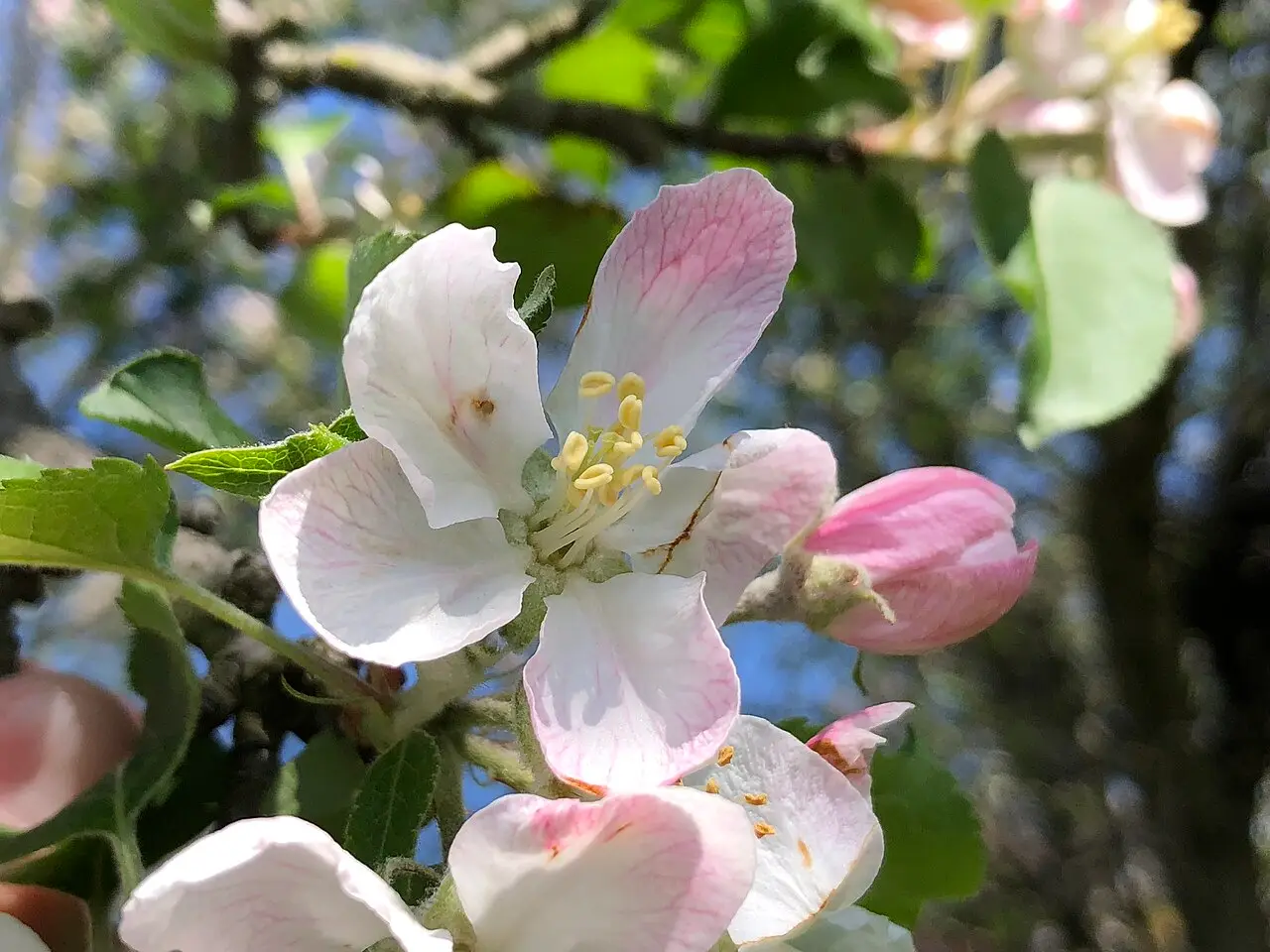
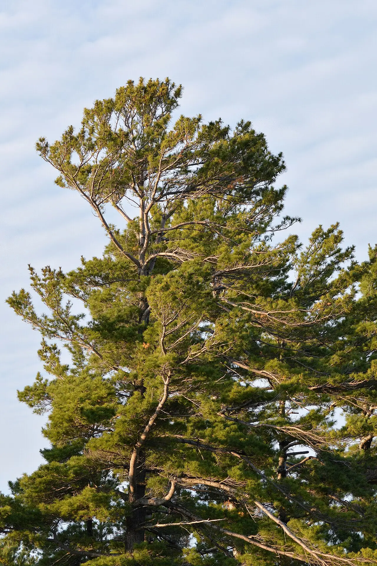
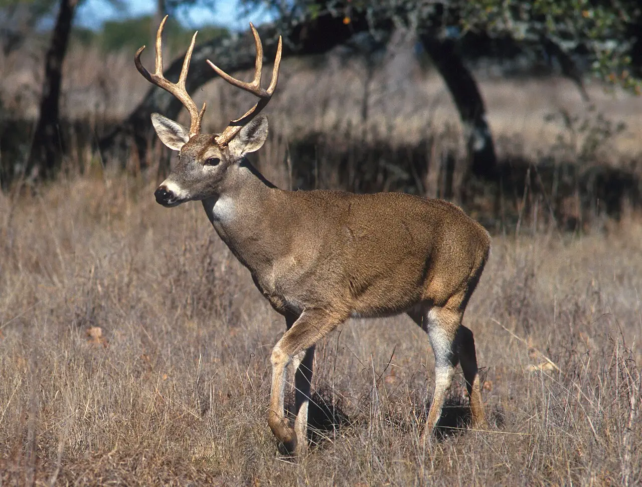
Michigan has 19 official symbols, many of them drawn from its forests and waters. The American robin is the state bird, chosen in a 1929 vote of about 200,000 people, and the apple blossom has been the state flower since 1897. The white pine, which made Michigan the nation’s leading lumber producer in the late 1800s, is the state tree. The Petoskey stone, a fossilized coral found on Lake Michigan beaches, is the state stone, and the brook trout the state fish. The dwarf lake iris, a tiny blue iris that grows only along the northern shores of Lakes Michigan and Huron, is the state wildflower. In 2026 Michigan added its first state duck, the wood duck. See every symbol on the Michigan symbols page.
The flag shows the state coat of arms, an elk and a moose beside a shield, on blue.
Land and people
Michigan covers 96,714 square miles including its Great Lakes waters, 11th among the states. It had about 10.13 million residents in 2025, 10th in the country. It borders Ohio, Indiana and Wisconsin, and across the Detroit, St. Clair and St. Marys rivers it faces Ontario, Canada. Detroit, with about 649,000 people, is the largest city, followed by Grand Rapids, Warren, Sterling Heights and Ann Arbor.
Michigan state symbols
All 19 official symbols
The capital: Lansing
The capital of Michigan is Lansing, chosen in 1847 to replace Detroit. When lawmakers picked Lansing Township, there was no village there at all, and critics called it a wilderness; the new settlement was first named Michigan, Michigan. Its Capitol, dedicated in 1879, was restored in 1987-1992 and is a National Historic Landmark.
- 1805–1847Detroit
- 1847–todayLansing
Where Michigan is
Michigan shares a border with 3 states: Indiana, Ohio and Wisconsin. It also borders Canada.
- Land area
- 56,539 sq mi
- Water area
- 40,175 sq mi
- Population density
- 179.1 people per sq mi (19th)
Michigan trivia
- Michigan's official pledge to its state flag calls the state two beautiful peninsulas united by a bridge of steel.Source: FindLaw (text of Michigan Compiled Laws)
- When Lansing Township was picked as the capital in 1847 there was no village there, and the new settlement was first named Michigan, Michigan.Source: Michigan State Capitol Commission
- Architect Elijah E. Myers titled his winning Capitol design "Tuebor," the Latin word for "I will defend" found on the state coat of arms.Source: Michigan State Capitol Commission
- The Capitol rotunda floor contains 976 pieces of glass, installed starting in the summer of 1878; by tradition they were made in Lancashire, England, by the London and Manchester Plate Glass Company.Source: Michigan State Capitol Commission
- Michigan's state fish law tells the state to use up old printed materials naming the trout before printing new ones naming the brook trout.Source: FindLaw (text of Michigan Compiled Laws)
- Michigan has an official state symbol for clean water: the American lotus blossom, designated in 2004.Source: FindLaw (text of Michigan Compiled Laws)
Questions about Michigan
- What is the capital of Michigan?
- Lansing. The legislature chose it in 1847, when there was no village on the site, and lawmakers first met there in January 1848. Detroit was the capital before that.
- What was the Toledo War?
- A boundary dispute between Michigan and Ohio over a strip of land including Toledo, in 1835-1836. Little blood was shed. To become a state, Michigan gave up the Toledo Strip and received the western Upper Peninsula instead.
- What does Michigan mean?
- It comes from an Ojibwe word, usually written michigama or mishigami, meaning "great lake," first used for Lake Michigan and later for the territory and state.
- Why is Michigan called the Wolverine State?
- The origin of the nickname is disputed; explanations point to the fur trade and to the boundary quarrel with Ohio. Wolverines have rarely been seen in Michigan in modern times.
Photo credits (5)
- Flag of Michigan: Unknown author, Public domain, via Wikimedia Commons
- American robin: Rhododendrites, CC BY-SA 4.0, via Wikimedia Commons
- Apple blossom: Famartin, CC BY-SA 4.0, via Wikimedia Commons
- White pine: Ryan Hodnett, CC BY-SA 4.0, via Wikimedia Commons
- White-tailed deer: USDA photo by Scott Bauer, Public domain, via Wikimedia Commons
Sources
- The Toledo War Michigan Department of Military and Veterans Affairs · statehood
- Three Capitols Michigan State Capitol Commission · capital
- Preservation Projects Michigan State Capitol Commission · capital
- "Michigan in Brief" Library of Michigan
- Use of the Great Seal and Coat of Arms Michigan Department of State
- US Census Bureau Vintage 2025 population estimates; 2010 state area measurements